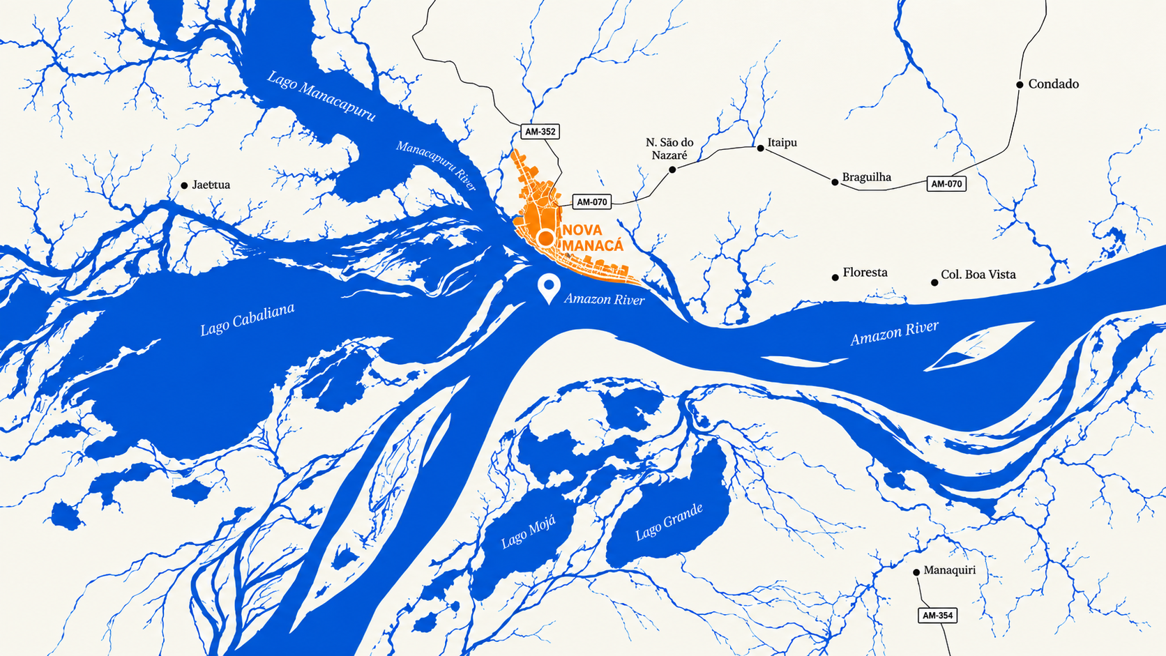
A river is not simply water between two banks. It is sediment, floodplain, groundwater, ecology, infrastructure, memory and the people asked to live with its movement.
On a map, a river is easy to recognize.
It is blue.
It begins somewhere in the mountains, bends through the landscape and eventually meets another river, a lake or the sea. Roads cross it. Cities sit beside it. Borders sometimes follow it.
Zoom out far enough and the river becomes a line.
This is useful. We need lines. Engineers need them to calculate discharge. Governments need them to divide land. Planners need them to decide where bridges, houses and roads can go. Insurance companies need them to estimate risk.
But the usefulness of a line can make us forget what it has left out.
A river is also sediment searching for somewhere to settle. It is groundwater beneath fields and houses. It is nutrients, fish, insects, reeds and trees. It is abandoned channels still visible from the air decades after water stopped flowing through them. It is a floodplain that may look dry for most of the year and suddenly become wet again. It is the memory of previous courses written into soil.
It is also dams, levees, roads, canals, property boundaries and cities.
And it is the people who have learned its seasons.
The strange thing is that once we reduce all of this to a line, something predictable happens.
When water moves beyond it, we say the river has left its place.
Perhaps it has not.
Perhaps our definition of its place was too small.
Before there is a flood, there is a boundary
A flood sounds like a purely physical event.
Rain falls. Water rises. A river exceeds its banks. Land becomes submerged.
Nothing about this description is wrong. Floods kill people, destroy homes, contaminate water, erase harvests and transform landscapes. Climate change is intensifying many of the conditions under which devastating floods occur. There is nothing romantic about losing your house to water.
But there is another question hidden inside the word flood.
Outside what?
For a river to be said to overflow, we must already have an idea of where the river properly belongs.
The river is here. The land is there. This side is wet. That side should be dry.
The flood begins when this distinction fails.
It sounds obvious until we look at a river over a longer period of time.
The land beside many rivers exists precisely because rivers repeatedly occupied it. Floodwaters deposited sediment. Channels shifted sideways. Wetlands expanded and contracted. Groundwater rose and fell. Islands appeared and disappeared. What looks like solid land on a planning map may be one temporary arrangement inside a landscape that has been reorganized by water for centuries.
A floodplain carries the answer in its name.
It is a plain formed through flooding.
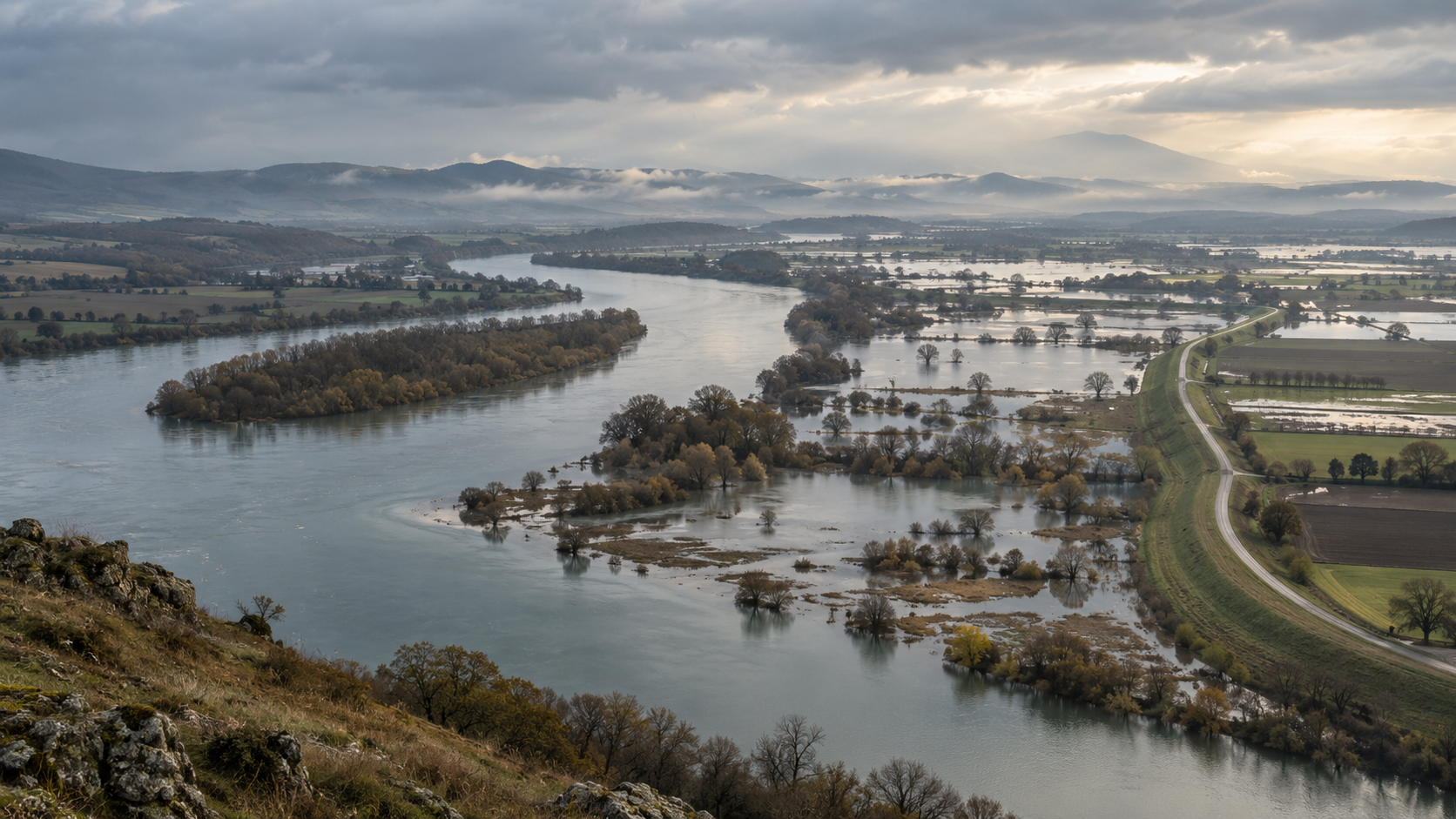

And yet we routinely treat the floodplain as something outside the river.
We build on it, farm it, divide it into properties, run roads across it and protect it with walls. Once these arrangements become permanent enough, the old movement of water begins to look like an intrusion.
The river has entered our space.
But this history can also be read in the opposite direction.
We entered the river's.
The river became a line
There is no single moment when humanity decided what a river was. Our definitions accumulated.
Hydrologists described flows. Geomorphologists studied channels and sediment. Ecologists traced organisms and nutrients. Engineers calculated what structures could contain, divert or store water. Governments measured rivers because water could irrigate fields, generate electricity, transport goods and supply cities.
Historians have shown that these definitions were never merely scientific.
Etienne Benson, writing about the history of river scholarship, asks whether a river should be understood as a system, an agent or a place. Those choices matter. Seeing a river as a system can reveal connections between technology, ecology, society and infrastructure. But it can also flatten the particular histories, inequalities and conflicts that made one river different from another.
A river does not become a neutral object simply because we have found a more sophisticated word for it.
Bathsheba Demuth, Giacomo Parrinello and Ellen Wohl give another name to part of this problem: water bias.
We often think about rivers primarily through their water. How much water is there? How fast is it moving? Can we store it? Can we stop it? Can we divert it? Can we protect ourselves from it?
But a river is not made of water alone.
Sediment moves through it. Wood moves through it. Organisms live across it. Nutrients move between channel and floodplain. Groundwater connects apparently separate places. The catchment sends material downstream. Dams trap some of it. Levees interrupt lateral connections. Political decisions made hundreds of kilometres away can alter what eventually reaches a delta.
Change the definition and the river changes in front of you.
What looked like a channel becomes a corridor. What looked like empty land becomes a floodplain. What looked like mud becomes sediment doing the work of building a delta. What looked like an accidental overflow becomes one moment in a much longer relationship between water and land.
That does not make every flood harmless.
It changes the question from: Why did the river escape?
To: What kind of river did we imagine we could contain?
Straight lines against moving water
Few places make this tension clearer than North Bihar.
Anthropologist Luisa Cortesi has spent years studying the region's rivers and the infrastructures built around them. Her work pays unusual attention to shape.
Engineering infrastructure likes straightness. Embankments run beside rivers. Dams cut across them. Roads and railways impose grids. Maps turn movement into boundaries.
The river behaves differently.
It curves. It migrates. It deposits sediment here and removes it there. It moves not only downstream but sideways.
Cortesi describes local understandings of North Bihar's rivers that are difficult to reconcile with a rigid geometry of containment. The river is not simply water passing through a fixed corridor. It is mobile and shape-making, entangled with the wider landscape.
The contrast becomes almost visual: rectilinear infrastructure trying to govern something whose existence depends on movement.
And containment can transform the very processes it is designed to control.
When embankments prevent floodwater from spreading across a floodplain, sediment that might once have dispersed over a broad area can remain concentrated in the channel. Riverbeds may rise. Drainage from surrounding land can become more difficult. Water can accumulate outside the embankment. Structures must be raised, repaired or multiplied.
The infrastructure does not merely defend society against a pre-existing river. It helps produce a new river.
We tend to imagine flood infrastructure as a response to nature: first there was the dangerous river, then humans built the wall. History is often messier.
The wall changes the river. The road changes the floodplain. The dam changes the sediment. The city changes drainage. Agriculture changes runoff.
Eventually it becomes difficult to say where the natural flood ends and the engineered flood begins.
Floodwater is not only water
Alejandro Camargo and Luisa Cortesi make a related argument in their essay Flooding Water and Society.
Floodwater does things besides destroy. Historically, flooding has replenished soils, supported biodiversity and sustained livelihoods. At the same time, contemporary floods can be catastrophically destructive.
Both statements are true.
Floodwater never arrives alone. It carries sediment, sewage, nutrients, chemicals, seeds, organisms, debris and histories of previous interventions. It encounters houses, roads, drainage systems, property regimes, agricultural practices and inequalities.
The same quantity of water can therefore become completely different events in different places.
A flood is not simply water plus land.
It is a relationship.
If we imagine the river primarily as water inside a channel, then flood management easily becomes the project of putting the water back where it belongs: higher wall, deeper channel, larger dam, faster drainage.
Sometimes these measures are necessary. People need protection. Cities cannot simply surrender every floodplain tomorrow morning.
But the logic becomes dangerous when containment stops being one tool and becomes our definition of success.
The river is considered well managed when it stays still.
A river that behaves like a river begins to look like infrastructure failure.
Who decided what water is?
The question is not only how large we draw the river. It is who gets to draw it.
In 2026, Luigi Piemontese and colleagues argued for what they call ancestral sociohydrology. Their critique reaches back into the history of modern hydrological knowledge itself.
Modern water science gave societies extraordinary abilities to measure, model and manage water. But it also developed alongside states and projects concerned with administration, development, territorial control and resource extraction.
Water became measurable. Then allocatable. Then controllable. Then a resource.
Piemontese and colleagues ask what becomes invisible when this way of knowing water presents itself as the universal one.
Across different Indigenous and place-based traditions, water may not exist primarily as an external resource waiting to be managed. Relationships among water, territory, ancestors, communities, non-human beings and governance can be inseparable.
The point is not to replace hydrology with tradition. Nor is it to pretend that every local knowledge system says the same thing.
The more difficult proposal is that multiple ways of knowing water may need to coexist without one automatically reducing the others to data.
Instead of asking only how much water a channel can safely carry, we might also ask: what relationships made this landscape capable of living with water?
What disappeared when wetlands were drained? Who benefited when an embankment was constructed? Who became more vulnerable? Which older channels were forgotten? Whose knowledge of the river counted when the boundary was drawn? And whose house now stands on the wrong side of it?
The map is not innocent
None of this means we should stop mapping rivers. A map is indispensable precisely because the world is too complicated to carry around in our heads.
The problem begins when the simplification becomes reality.
Draw the river as a blue line often enough and the floodplain starts to look empty. Mark a levee as protection and the land behind it begins to look permanently safe. Classify a wetland as developable land and its occasional water becomes abnormal. Build enough houses and eventually the river returning there becomes a disaster.
The map did not cause the rain. But the map may have helped decide what was built in its path.
This is why definitions matter. They do not merely describe environmental problems after they happen. They participate in producing the landscapes in which those problems become possible.
A narrow river produces a large outside. Everything excluded from the definition - floodplain, wetland, sediment, groundwater, abandoned channels - appears to belong somewhere else.
Until the water returns.
Perhaps the river has not left its place
There is a dangerous way to misunderstand this argument.
One could say: if floodplains belong to rivers, then people harmed by floods simply should not have lived there. That would replace one narrow definition with an equally narrow morality.
People do not choose landscapes from a blank map. Housing markets, poverty, colonial histories, land ownership, infrastructure, agricultural policy and governments decide who can live where. Some communities have lived with seasonal flooding for generations. Others were encouraged to settle behind structures that promised protection. Still others have nowhere safer to go.
The purpose of making the river larger is not to make human suffering smaller. It is exactly the opposite.
If we want to understand why floods become disasters, we have to see more of the system that produces them.
The rain matters. The discharge matters. Climate change matters. But so do the wetland that disappeared twenty years ago, the sediment trapped behind a dam, the road blocking drainage, the neighbourhood built on an old channel, the embankment protecting one place while redirecting water toward another, and the political decision that labelled all of these things separate from the river.
A river is not infinitely large. But neither is it simply the blue line.
Perhaps we need another image. Not a river surrounded by land, but a river territory: a shifting space of channels, floodplains, wetlands, groundwater, sediment, organisms, infrastructure, histories and human lives.
Its boundaries would not be perfectly fixed because the river itself is not perfectly fixed.
That is inconvenient. It is harder to map. Harder to own. Harder to regulate. Harder to build beside. Harder to promise that a wall will solve.
But perhaps inconvenience is part of seeing the river clearly.
We have spent centuries making rivers legible to states, engineers, maps and property systems. The river, meanwhile, has continued moving.
And each time it crosses a boundary we believed to be permanent, we describe what happened as though the river has entered a place where it does not belong.
Perhaps sometimes it has. Perhaps sometimes the water is truly extraordinary.
But perhaps, in other moments, the river is still moving through the larger place that made it possible.
The floodplain. The wetland. The sediment. The groundwater. The abandoned channel. The history. The people.
Perhaps the river has not left its place.
Perhaps our definition of its place was too small.
References
- Benson, Etienne (2024). Rivers in History: Systems, Agents, and Places.
- Camargo, Alejandro & Luisa Cortesi (2019). Flooding Water and Society. WIREs Water, 6, e1374.
- Cortesi, Luisa (2025). The Shape of Waterland.
- Demuth, Bathsheba, Giacomo Parrinello & Ellen Wohl (2025). Rivers are messy: Beyond the water bias in research and management. PLOS Water, 4(11), e0000447.
- Piemontese, Luigi et al. (2026). Ancestral sociohydrology. PLOS Water, 5(5), e0000550.
Reader responses
Leave a response.
Every comment is reviewed before publication.